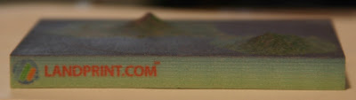
Z Corp, a company who partners with my employer, recently launched a new online printing service called Landprint to create 3D maps of user selected regions of planet Earth. The full topography is printed in 3D and colored to match satellite photos.
I love maps, so I couldn’t pass up the opportunity to try this out. The choice of locations was clear–my former home, Ometepe island in Nicaragua.
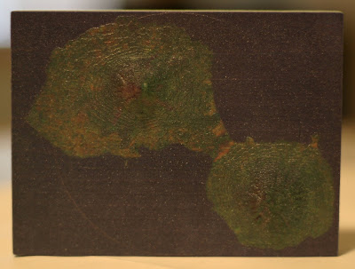
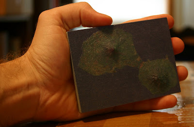
It’s made of a hard sturdy resin. I knew it was going to be small, but I underestimated just how small 4″ was. That’s okay, because the thing is really neat. They make objects slightly larger but they get prohibitively expensive pretty quick. The 4″ model was priced closer to the impulse buy range.
COOL MAP—- AND it’s small enough to carry around and be observed by others——– Glad you both survived the TORNADIC episode last nite — what an experience——-How many BIKES will fit in the bathroom??????? maybe you should DIG a STORM CELLAR in your back yard, like they used to have years ago!!!!!!! take care and stay safe. luv ya, nan
It is still a better buy than the topo map of your current residence, which I will sell you for a small fee.
(preview)
_______________________________