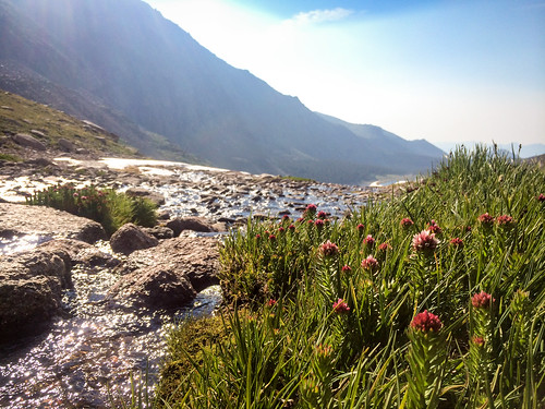
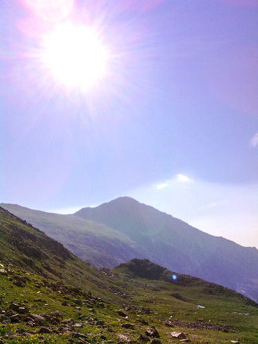
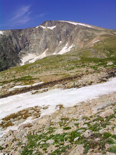
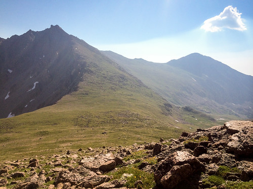
Longs Peak

Planning

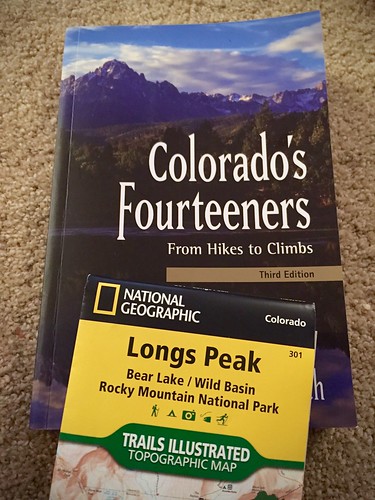
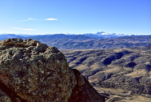
There’s only a short window of a few weeks each year when it’s (relatively) safe to climb Longs Peak without an ice axe (which I don’t have and don’t know how to use). Longs is the closest mountain over 14,000 ft to Fort Collins, in nearby Rocky Mountain National Park. It looms large over everything here. I can’t actually see it from my house because closer mountains obstruct the view. But it is visible farther east (where I rarely go) and from the summit of Horsetooth Mountain (where I go much more frequently).

IMG_7805

I missed the window last summer to climb it and I didn’t want to miss out again this summer. Longs is the most frequently climbed 14,000 ft mountain in Colorado–not because it’s the easiest, because it’s the most accessible. That means it also attracts the greatest number of people who are completely unprepared, both in terms of fitness and in terms of technical skill. As a result, Longs is responsible for more deaths than any other 14,000 ft mountain in Colorado.

So I wanted to climb it, but I wanted to do so safely. I sent a message out to a handful of friends and I got one bite, my friend Curtis. We drove up to the trailhead early one Saturday morning in August to find the parking lot completely full and cars parked along both sides of the road for about a half mile back. This was around sunrise. Most people got a much earlier start than we did, but we were planning to move pretty quickly. Regardless, we certainly didn’t expect that many cars.

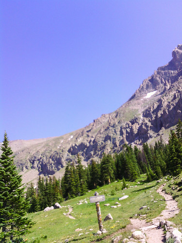
Starting around 9,400 ft, we alternated running and hiking in the early miles as the grade varied a bit. We took the standard, most common route via The Keyhole. The trail was actually pretty horrible. Rather than a smooth uphill the trail had hundreds (thousands?) of stairs built in, so people put a lot of intentional effort into ruining it. There was no regularity to the spacing of the stairs, so each one took a different number of steps to get up. It was awful for running, though I’m not sure I would even want to hike on a trail like that.

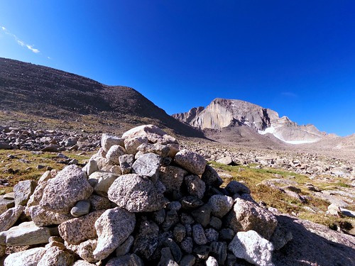
The Diamond

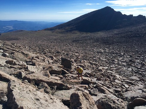
Once we got up to 12,000 ft there wasn’t much more running uphill, but we still hiked quickly. At The Boulder Field the steps thankfully ended, but so did the trail for a bit. We just had to hop across hundreds of huge rocks going in the general direction of The Keyhole.

The Boulder Field

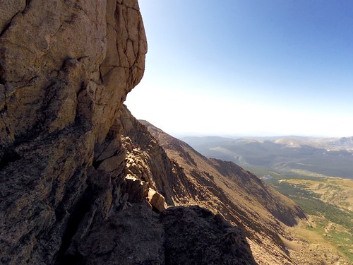
After The Keyhole come the dangerous parts. First is The Ledges, which wasn’t as bad as I had feared. Yes, the trail is narrow. Yes, there is a pretty big drop off. But it was dry and if you paid attention to what you were doing there was very little real danger.

The Ledges

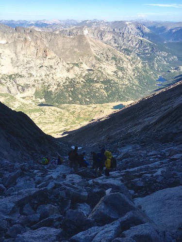
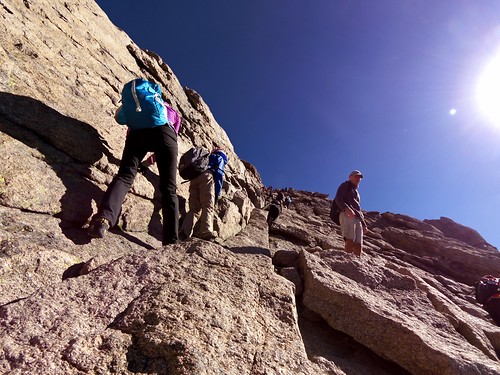
After The Ledges the trail turned sharply upwards into The Trough. Remember all the cars in the parking lot? This is where all the people were. We had only passed a couple dozen people earlier in the trail, but this is where everyone was bunched up. Fortunately, there were a few different lines up the trough so it was relatively easy to pass people. The dangerous part through here was all the loose rock that would occasionally go tumbling down when people took a wrong step. Some people were wearing climbing helmets, and frankly, that wasn’t a terrible idea.

The Trough

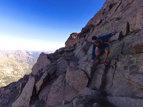
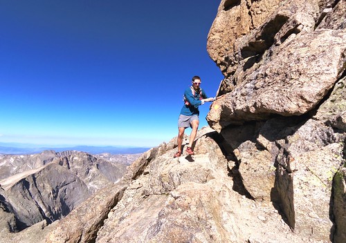
At the very top of The Trough was the hardest part of the climb–an actual climb. It was only about 10 feet high, but everything else on the trail is nothing more than a scramble. Once through The Trough we got to The Narrows, which lives up to it’s name. The trail is narrow. There is a huge drop off. Again, just pay attention and all will be well.

The Narrows

The Narrows

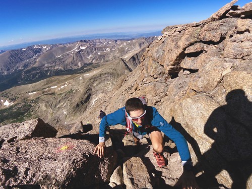
Once past The Narrows we made it to The Homestretch, which is where the other half of the people were. In some places there were two lines up The Homestretch and I could pass people, but in other places there was only one line and I had to wait.

The Homestretch

The Summit

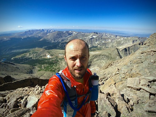
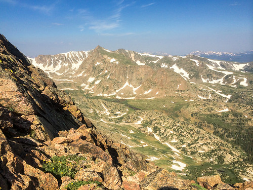
Soon enough we reached the summit. It’s a weird, completely flat area about the size of a football field at 14,259 ft. Parts of The Keyhole, Trough, Narrows, and Homestretch had been windy and cold, but the summit was perfectly calm. There were no clouds for hundreds of miles in any direction.

Longs Peak (14,259 ft)

We were cautious but quick on the descent. There would soon be a mass exodus by the hundreds of people at the summit before the afternoon thunderstorms rolled in. I wanted to beat the crowd. Most of the scrambling sections I crab-walked down, facing outward. I kicked more loose rock down The Trough than I would have liked, but fortunately none of it hit anybody.

It was blazing hot by the time we made it back down to The Keyhole and The Boulder Field. We had picked the hottest day of the year to do this. On the long run back down the trail both Curtis and I ran out of water (we packed a lot) and started to get dehydrated. We stumbled a bit, both falling down a couple times. We finally made it back to the car where I had a big jug of ice cold water waiting. We had successfully climbed Longs Peak and made it safely back down to the bottom. At times it wasn’t pretty, but we almost certainly weren’t the least prepared people on the mountain that day.
Canyonlands

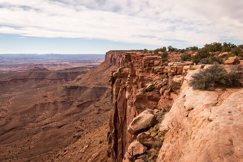
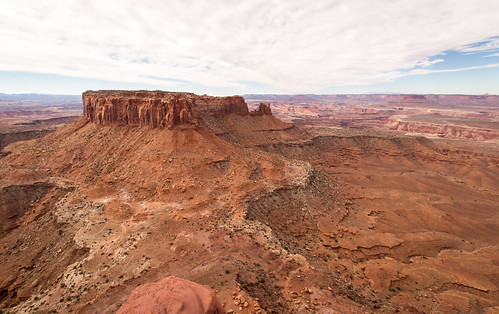
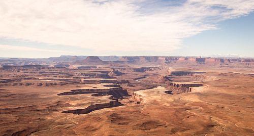
Canyonlands NP

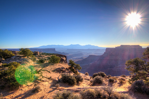
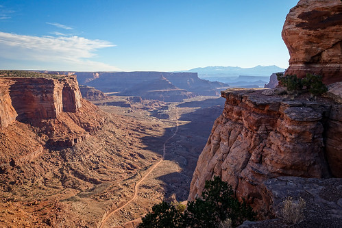
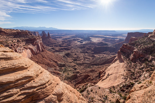
I wasn’t super familiar with Canyonlands National Park before my trip to Moab, UT in February. Even though I was a bit short on time, I had to pay a quick visit on the Sunday morning after the Red Hot 55K before I headed back home. In short, I was blown away.
In the park is the confluence of the Colorado River and the Green River. The two rivers form deep canyons that, with no bridges within the park’s boundaries, separate the park into three separate districts that are quite a long drive apart from each other. So I just visited the Island in the Sky District closest to Moab.

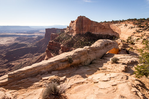
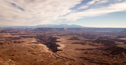
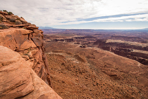
Canyonlands NP

Canyonlands NP

I drove the entire length of the road in that district, stopping at every overlook to stretch my sore legs and take in the scenery.
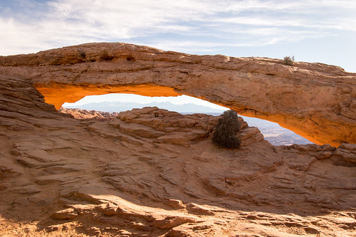
Mesa Arch

Canyonlands NP

Canyonlands NP

Canyonlands NP

Canyonlands NP

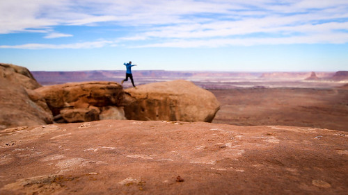
Leap

Canyonlands NP

Canyonlands NP

The 3 miles I hiked did wonders for my legs after the race and before the long drive home. What should have been a 6 hour drive turned into 11 as I got caught in a whiteout blizzard crossing the Rockies before I even reached the weekend ski traffic that was all headed back to Denver at the same time. So my afternoon and evening weren’t nearly as pleasant as my morning.
Anyway, I anticipate returning to Canyonlands at some point in the future. With a bit more time I’d love to see the other two districts of the park as well.

Arches

I was out in Moab, Utah last weekend for the Red Hot 55K. I’d never been to Utah before (well, at least not outside the Salt Lake City airport). On Friday afternoon I took a whirlwind tour of Arches National Park. While it wasn’t the most impressive national park I’ve experienced, it was worth the visit. There’s plenty to see. It probably would have been more impressive if I wasn’t there the day before the race and I had time to do some actual hiking rather than short walks from my car.

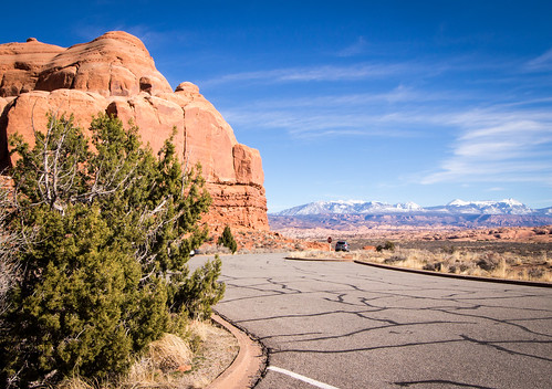
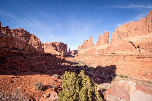
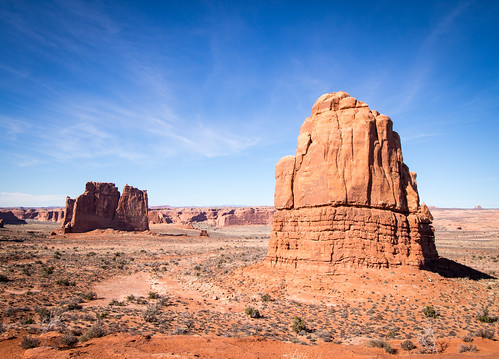
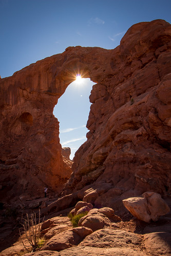
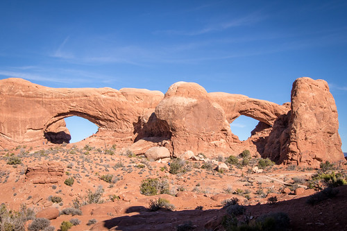
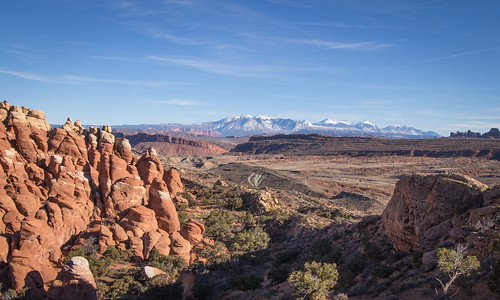
Arches NP

Arches NP

Arches NP

Arches NP

Arches NP

Arches NP

November 2014

Running

Rob

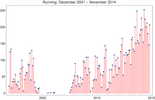
After a month of racing in October, I took the first week of November pretty easy. I intended to take the second week of November pretty easy too, but I ended up running 50 miles with 9,000 feet of climbing. I suck at the offseason.

I took the week of Thanksgiving off work, but our internet connection was out the entire week, so I spent some time running in the mountains. Most weeks I do about 7,000-8,000 feet of climbing. There was a week in June when I did 9,900 feet of climbing, and two weeks in July where I had 9,500 feet of climbing. The week in November I took off work and had no internet service I ran 21,000 feet of climbing over 68 miles (with a rest day that comes out to 3,500 feet per day). Each day I kept expecting to feel dead tired and not be able to move, but I actually felt stronger each day and the running got easier as the week progressed.

Monday: Grayrock Mountain.

Grayrock

Tuesday: Green Mountain and Bear Mountain.

Green Mountain and Boulder

Wednesday: Horsetooth Mountain x 2.

Sunset over the Rockies

Thursday: Off.

Thanksgiving dinner

Friday: Horsetooth Mountain x 2.

Horsetooth early

Saturday: Horsetooth Mountain x 2.

Sunset over RMNP

Sunday: Arthur’s Rock

Cloudy Arthurs Rock Trail

Month Workouts Total Dist Avg Dist Total Ascent Avg Ascent
January 19 192.03 miles 10.11 miles 9620. feet 506.32 feet
February 19 227.4 miles 11.97 miles 12301. feet 647.42 feet
March 17 192.96 miles 11.35 miles 10819. feet 636.41 feet
April 15 155.2 miles 10.35 miles 10947. feet 729.8 feet
May 24 252.5 miles 10.52 miles 20364. feet 848.5 feet
June 21 224.51 miles 10.69 miles 33782. feet 1608.67 feet
July 18 201.09 miles 11.17 miles 33696. feet 1872. feet
August 19 212.37 miles 11.18 miles 28465. feet 1498.16 feet
September 17 180.49 miles 10.62 miles 23117. feet 1359.82 feet
October 15 147.11 miles 9.81 miles 13376. feet 891.73 feet
November 23 206.79 miles 8.99 miles 46985. feet 2042.83 feet
Total 207 2192.45 miles 10.59 miles 243472. feet 1176.19 feet

Running 2014 11


Cycling

Month Workouts Total Dist Avg Dist Total Ascent Avg Ascent
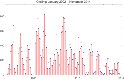
January 4 64.74 miles 16.19 miles 1114. feet 278.5 feet
February 1 15.9 miles 15.9 miles 0. feet 0. feet
March 2 51.18 miles 25.59 miles 2115. feet 1057.5 feet
April 6 148.91 miles 24.82 miles 6250. feet 1041.67 feet
May 4 73.05 miles 18.26 miles 2810. feet 702.5 feet
June 4 70.06 miles 17.52 miles 4901. feet 1225.25 feet
July 4 62.47 miles 15.62 miles 2986. feet 746.5 feet
August 9 151.9 miles 16.88 miles 6942. feet 771.33 feet
September 12 168.17 miles 14.01 miles 8381. feet 698.42 feet
October 2 19.09 miles 9.54 miles 784. feet 392. feet
November 1 11.66 miles 11.66 miles 827. feet 827. feet
Total 49 837.13 miles 17.08 miles 37110. feet 757.35 feet

Cycling 2014 11


Walking & Hiking

Arthurs Rock

Month Workouts Total Dist Avg Dist
January 11 27.72 miles 2.52 miles
February 11 26.8 miles 2.44 miles
March 11 32.72 miles 2.97 miles
April 23 64.33 miles 2.8 miles
May 20 57.9 miles 2.9 miles
June 12 32.55 miles 2.71 miles
July 12 39.98 miles 3.33 miles
August 0 0 0
September 0 0 0
October 8 26.61 miles 3.33 miles
November 3 9.19 miles 3.06 miles
Total 111 317.8 miles 2.86 miles

Cross Country Skiing

Old man winter

Month Workouts Total Dist Avg Dist Total Ascent Avg Ascent
January 2 6.85 miles 3.42 miles 352. feet 176. feet
February 1 4.24 miles 4.24 miles 294. feet 294. feet
March 0 0 0 0 0
April 0 0 0 0 0
May 0 0 0 0 0
June 0 0 0 0 0
July 0 0 0 0 0
August 0 0 0 0 0
September 0 0 0 0 0
October 0 0 0 0 0
November 1 5.63 miles 5.63 miles 351. feet 351. feet
Total 4 16.72 miles 4.18 miles 997. feet 249.25 feet

The Saddle

With next weekend’s Mt. Werner Classic 50K rapidly approaching I felt the need to get in one more good run up above 10,000 feet. Saturday morning I woke up before dawn and drove to Rocky Mountain NP. We have an annual pass for the park, but I wouldn’t have needed it as I arrived before the gate attendants were on duty.

My plan was to run the Lawn Lake Trail up to Lawn Lake, then perhaps The Saddle, then perhaps beyond. Four weeks prior I ran the Black Canyon Trail to Lawn Lake, but this route would only share about ½ mile of trail in common with that route.

Lawn Lake Trail

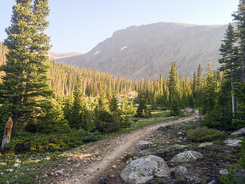
The trail began steep, gaining 500 feet in the first mile, then eased up a bit into a more comfortable running grade. I passed a couple hiking in the first few miles. They would be the last humans I would see for several hours.

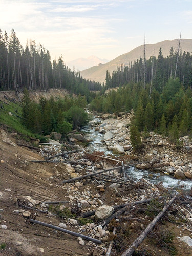
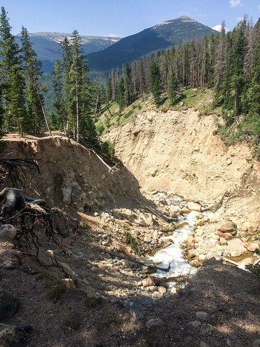
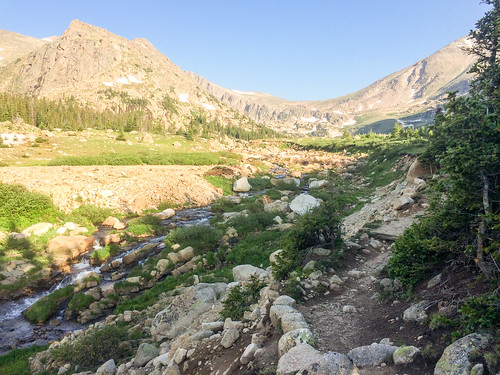
The trail closely follows the Roaring River, which was the source of the massive flooding last fall. The banks of the river were just destroyed by the flooding nearly all the way up to Lawn Lake.

Lawn Lake Trail
Looking upstream

Roaring River, Trail Ridge Road, Longs Peak
Looking downstream at Trail Ridge Road and Longs Peak off in the distance

Roaring River

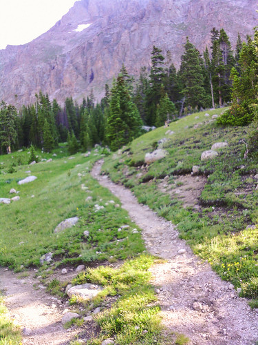
Like the other trails I’ve run in Rocky Mountain NP the surface varied quite a bit from smooth to rocky.

Lawn Lake Trail

Lawn Lake Trail

Lawn Lake Trail

Mummy Mountain

After about 6 miles I caught glimpse of The Saddle up ahead and soon I reached Lawn Lake at 11,000 feet.

The Saddle
The Saddle

Lawn Lake Trail

I had a pretty easy week of training last week, so I was feeling pretty good by this point and I pressed on.

Lawn Lake Trail
Mummy Mountain

Lawn Lake Trail
Origin of the Roaring River

Lawn Lake Trail
Mummy Mountain

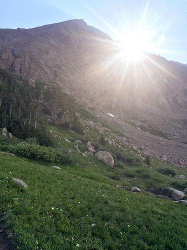
The last mile of the trail was quite a bit steeper and I was reduced from a run to a fast hike. The warm sun was heating me, while a cold headwind chilled me. I was both hot and cold at the same time.

I reached The Saddle, the low point between Fairchild Mountain and Hagues Peak. The trail basically disappeared into the tundra. The wind was blowing 30-50 mph up there. I looked both mountains up and down and decided to continue on up a ways on the less intimidating Fairchild Mountain.

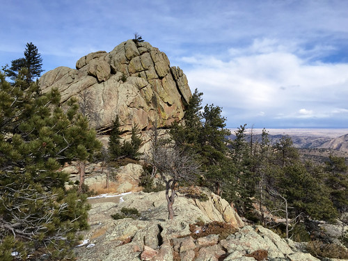
Fairchild Mountain
Fairchild Mountain

Hagues Peak & Mummy Mountain
The Saddle, Hagues Peak, Mummy Mountain

I ascended a couple hundred feet more (12,700 feet) to get a good look at the other side of the mountain, and it was breathtaking.

Desolation Peaks
Desolation Peaks (I think)

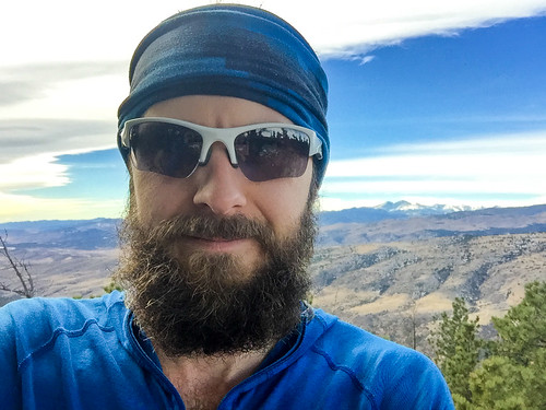
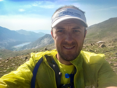
Rob on Fairchild Mountain

It would have been nice to continue on up to the summit at 13,500 feet, but walking up that ridge in 30-50 mph winds left me, well, downright scared. Maybe some other time.

The run back down went pretty quickly, aside from a couple of navigation checks where the trail wasn’t completely obvious. I started to pass hikers on their way up, more and more the further I descended.

Lawn Lake Trail

The best part was that running felt relatively easy, even above 11,000 feet (my next race tops out at 10,500 feet, but several miles are above 10,000 feet). Sure, I was going downhill, but you may recall I had some problems even going downhill at high elevation during the Leadville Trail Marathon last month. This is a good sign.

Black Canyon and Lawn Lake

While we were up in Estes Park for Melissa’s marathon, I managed to sneak in an epic mountain run. Starting from the Lumpy Ridge trailhead I took the Black Canyon trail up to Lawn Lake in Rocky Mountain National Park.

Big Thompson River Canyon
Driving up Big Thompson River Canyon to Estes Park.

The run started easy enough with smooth wide trails, gently rolling terrain, and beautiful mountain views.

Black Canyon Trail
Longs Peak just left of center

Black Canyon Trail
The Needles

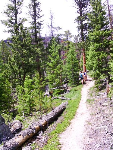
After climbing 500 feet or so the trail grew more narrow, rocky, and tree covered.

Black Canyon Trail

Black Canyon Trail

There was a short section that appears to have been taken out by an avalanche or rock slide.

Avalanche damage?

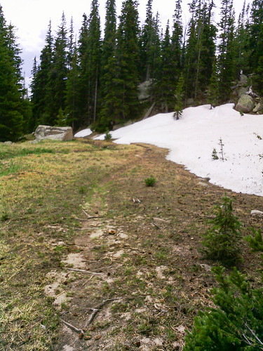
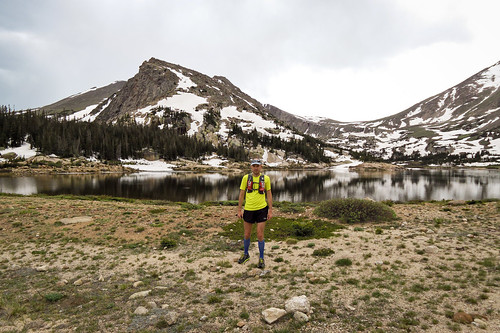
Above 10,000 feet I started to see snow, and the trail got a little wet in a few places from all the snow melt.

Black Canyon Trail

Black Canyon Trail

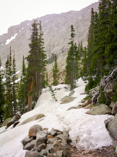
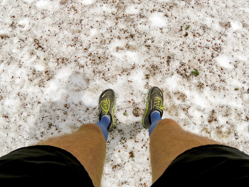
After a bit the snow was much more prevalent. It covered the trail in many places, making navigation a bit tricky. It was super slippery and often off-camber. With each step I didn’t know whether the snow would support me, or whether I’d sink up to my knee, or whether I’d slide off to the side. It made for slow going.

Sometimes the snow made navigation difficult

Black Canyon Trail

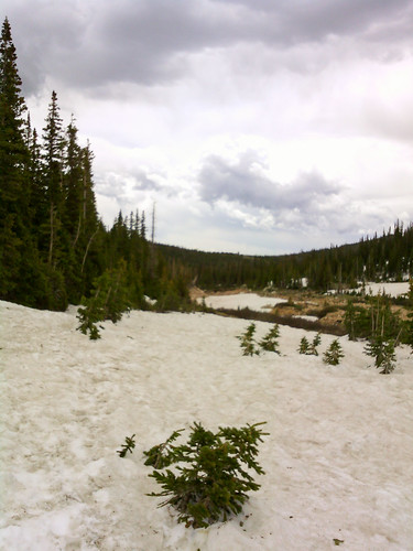
There was snow above 10,400 ft

Sometimes the snow made navigation difficult

The Black Canyon trail I was on eventually (a mile farther than the map I used for planning indicated) met up with the Lawn Lake trail at the Roaring River.

Black Canyon Trail

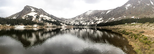
A bit farther, at 11,000 feet (just below tree line), was Lawn Lake in all its splendor.

Lawn Lake

Lawn Lake
Apparently the shore where I’m standing used to be under water before the dam collapsed in 1982.

Lawn Lake

The views were totally worth the hours of running and hiking it took to get there. Of course, shortly after I arrived the weather turned and it began to rain on me. It was already a bit chilly at that altitude. I put on my jacket and started to run back down. In what seemed like a matter of minutes I went from chilly, rainy, with numb hands to sweltering heat and baking in the bright sun.

Black Canyon Trail

The 19-20 mile round trip took a bit longer than I anticipated. This was partly due to incorrect (low) distance estimates, partly due to the heavy snow cover in places, and mostly due to my tired legs after last weekend’s marathon and two hard hill workouts this week (14,000 feet total ascent in the last 8 days, by far the most I’ve ever done). I ran out of water and the last couple miles were pretty rough, despite the relatively easy terrain. But Melissa and Will were waiting for me at the parking lot with a cooler full of cold water and I pepped back up pretty quickly.

The next time I’m up at Rocky with time for a long run I’d definitely consider doing this one again. With fresher legs, more drinking water, and less snow on the trail this would be much easier. I might even be able to continue on up to the surrounding mountain peaks. Though, I understand there’s many great places to run there, and it might be hard to justify doing the same route again when there’s so much else to explore.

This is just the beginning.

2013 in Photos

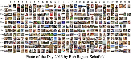
I completed the fifth consecutive year of my Photo of the Day project.

Photo of the Day 2013

Photo of the Day 2012

Photo of the Day 2011

Photo of the Day 2010

Photo of the Day 2009

I have missed four days since late 2008 (three in December 2010 and one in October 2012).

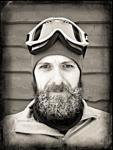
I also made a video of self portraits taken almost every day in 2013.